
As I reach the milestone of having backpacked over 21,000 miles, I reflect how each trail I’ve done has had its own beauty and its own difficulties. The first time I did the Appalachian Trail I was in 40 days of rain in the state of Virginia alone. The second time I did it in the winter when I had snow in every state. When I thru hiked the Pacific Crest Trail in 1986 it all had to be done with map and compass, making my way through deep snow, raging streams, and nonexistent trail. These days it’s a very different experience for hikers.
On other trails like the New England Trail, the Continental Divide and the Arizona Trail, heat and lack of water were challenges. Sections of the Natches Trace Trail had not been maintained for years when I did it. And the folks heading up the Potomac Heritage Trail didn’t have a clear idea of what constituted the entire trail.
The Ice Age Trail had plenty of ticks and mosquitoes as well as road walking but otherwise it was one of the easier trails I’ve done. The Florida Trail was difficult not because of alligators and snakes, which there were plenty of, but because of the depth of water in the swamps I had to wade through. In addition, the Florida Trail was a challenge because I did most of it on crutches in an orthopedic boot when I broke my foot.
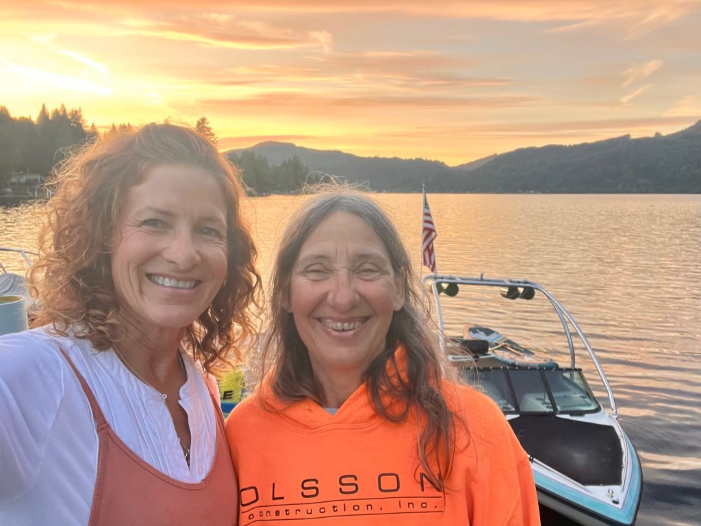
But just as each trail has it’s difficulties, there are usually plenty of enjoyable sections as well. Sometimes it has been the scenery, sometimes its been the people I met, but every Trail has provided me with some beauty and kind interactions which have made a real difference in my life.
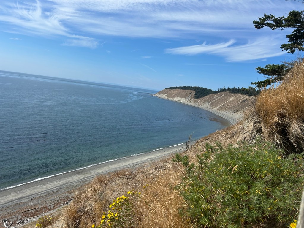
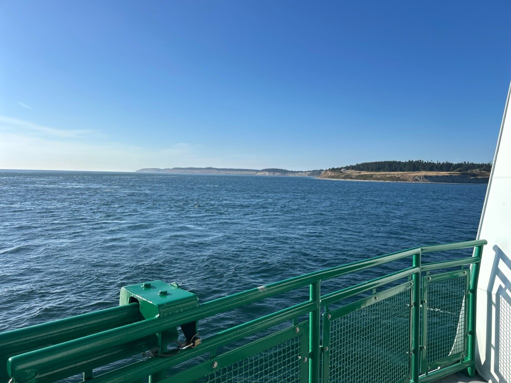
It’s been harder for me to find the easier sections on the Pacific Northwest Trail. They do exist, but they’ve been few and far between, with a difficult section always looming up ahead. For example, I just finished a mostly road walk section on the islands in northwestern Washington and I’m about to enter the very rugged Olympic Mountains. There’s a bushwhack section before I get to the mountains where I need a permit to camp. I’ve just spent four hours working to get the permit and so far I’ve managed to get it for only half the miles I’ll need it for. I’ll work on the remaining permit further down the trail. For that one I have to coordinate with tide charts since I’ll be walking along the beach.
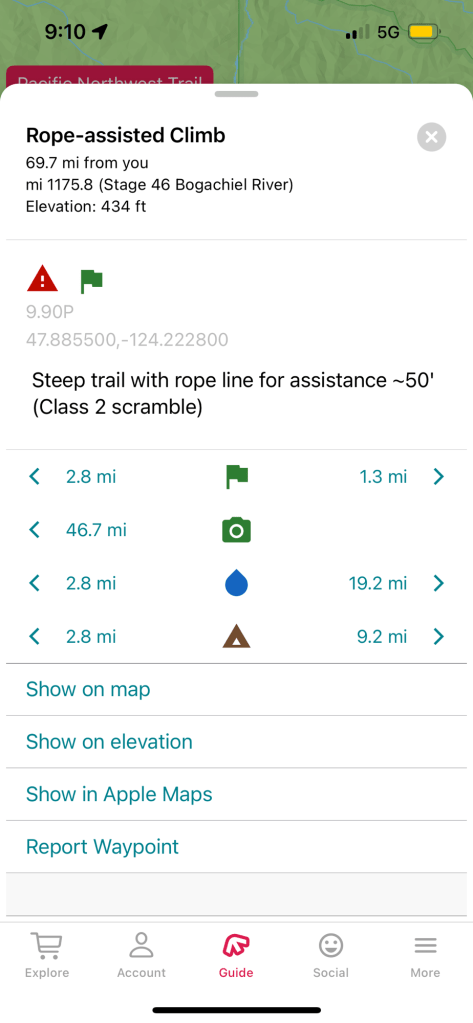
It took a while to reach a real person on the phone who could help me with the permit. When I did reach Kelly in the back country office she did all she could to help. But because of Park regulations, there was only so much she could do. I wasn’t able to go the route I originally hoped to go. There’s one day when I’m supposed to walk 25 miles between campsites with over a 5000 foot gain and a 6000 foot drop. In some sections it’ll be so steep I will need to use rope to pull myself up. There will be long stretches without water and I’ll be setting out with nine days of food, so my pack will be quite heavy.
I remind myself that when I started this trail last year, I was in weeks of snow and rain before transitioning to weeks of temperatures in the 90s and almost a full week in the hundreds. There were raging wildfires in Canada sending smoke that made my eyes and nose burn. Unknowingly, I hiked about 300 miles with a broken foot before the pain forced me off the trail at about the 550 mile mark.
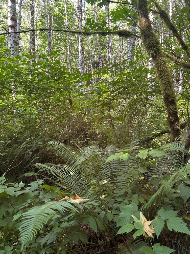
When I got back on the trail this year, I did some of the high routes in Glacier I was unable to do last year because of snow. Even so I went through some sketchy snow traverses. After I skipped ahead to where I had gotten off the trail, there were some beautiful sections. The beauty while hiking through the Pasaytan wilderness surrounded by a plethora of wildflowers brought me to tears. But so did a section with 2500 blow downs per mile for at least 3 miles. The PNT walks on numerous decommissioned roads which usually means pushing through alders and brambles over my head. Sometimes I can’t even move at a pace of a mile an hour. There are also a lot of paved and unpaved roads that this trail utilizes. I’ve come to appreciate the roads because at least they’re mostly not covered in brambles but hiking a paved road for miles in the sun it’s not my idea of fun.
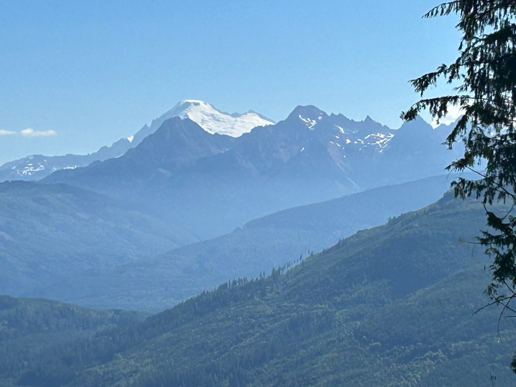
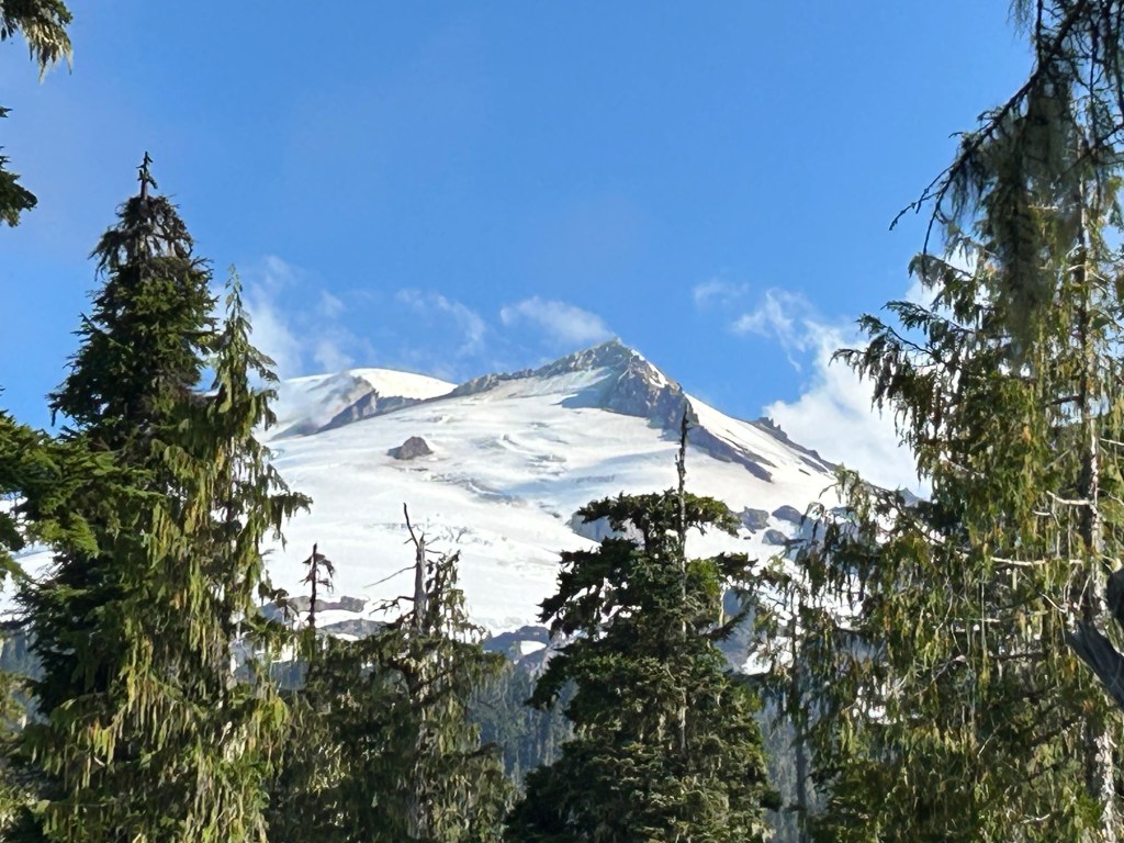
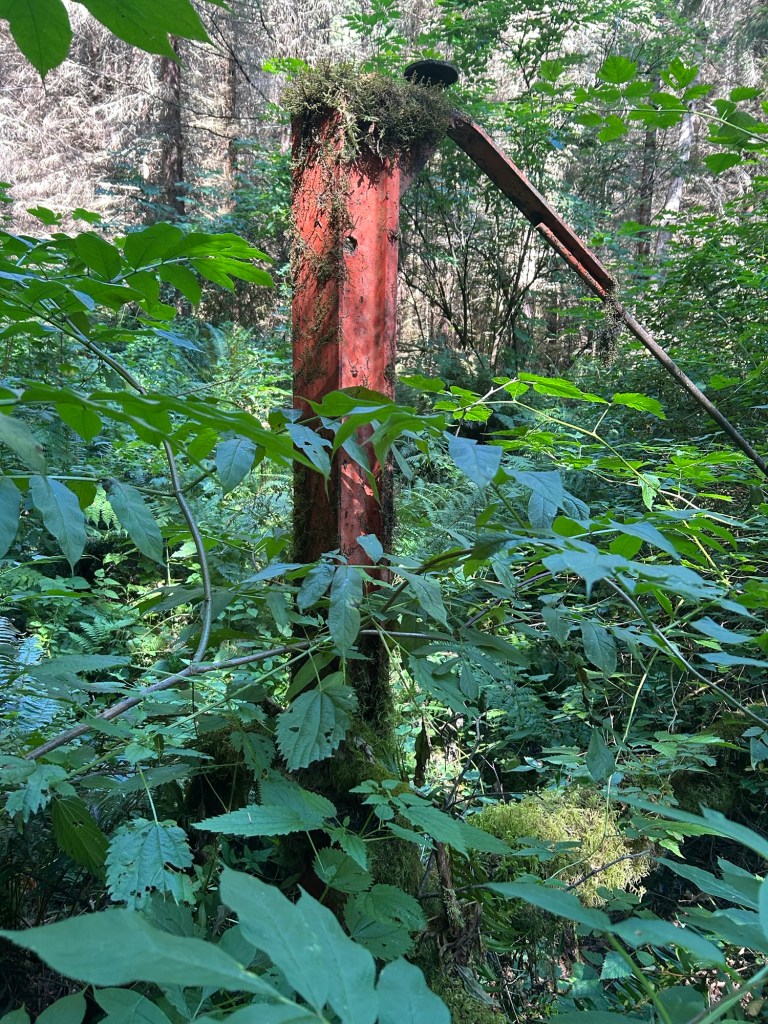
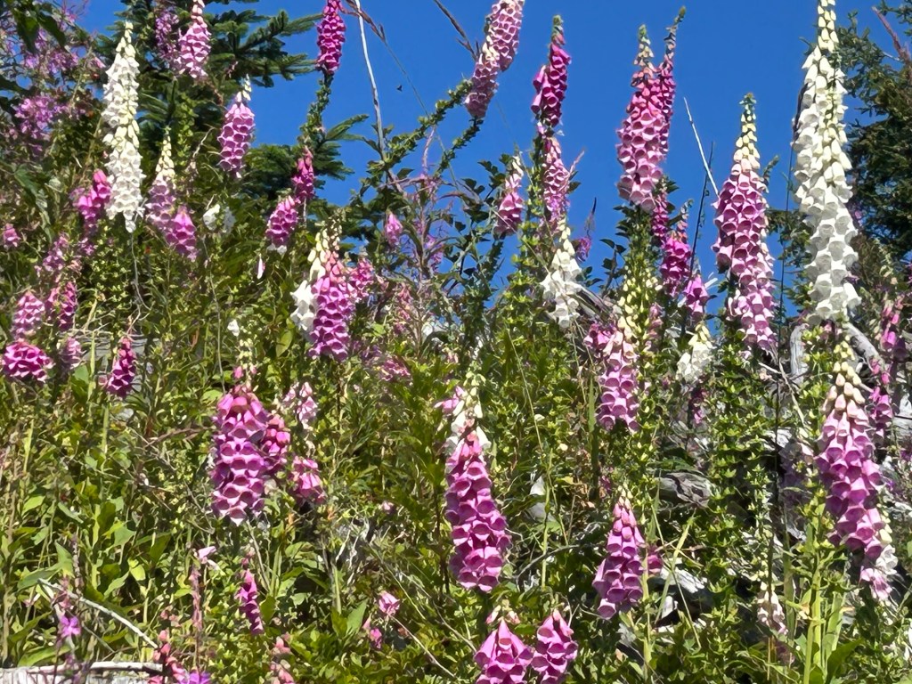
And yet, even as I sit here feeling the difficulties of this trail I’m well aware of the magnificence I’ve been treated to. The islands near the Olympic Peninsula present breathtaking views as do the glacier capped peaks of mountains such as Baker Peak. Even though many of the areas I walk through have been logged, they’re beautiful because of the acres of foxglove. I don’t know whether this is considered an invasive out here and I don’t have Internet to look it up, but it is beautiful.
As I am about to enter the challenging Olympic Mountains, I am reminding myself that many times in my life and a on every trail I’ve ever done there have been plenty of daunting challenges. Just as I got over those past challenges, I anticipate I’ll get over these new ones. Keeping it all in perspective, reminding myself of what I’ve already accomplished, helps me know I can prevail. I will continue to think of this trail in small sections so I don’t get overwhelmed. Now I’m focusing on the next 10 days, getting through these rugged mountains. Then I’ll face the challenge of walking the rocky coast where I’ll have to pay attention to tides so not to get washed out to sea. But once I do that, I will have completed the entire Pacific Northwest Trail. Then I’ll only have one national scenic trail left. Wish me luck!
#thruhike #thruhiker #thruhiking #nationalscenictrails #nationalscenictrail #kindness #cdt #continentaldividetrail #pnt #pacificnorthwesttrail #pct #pacificcresttrail # floridatrail #natchestrace #potomacheritagenationalscenictrail #phnst #iceagetrail #iat #net #newenglandtrail #AT #appalachiantrail #azt #arizoniatrail

Leave a comment