
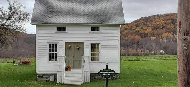
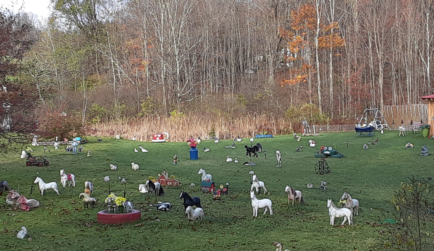
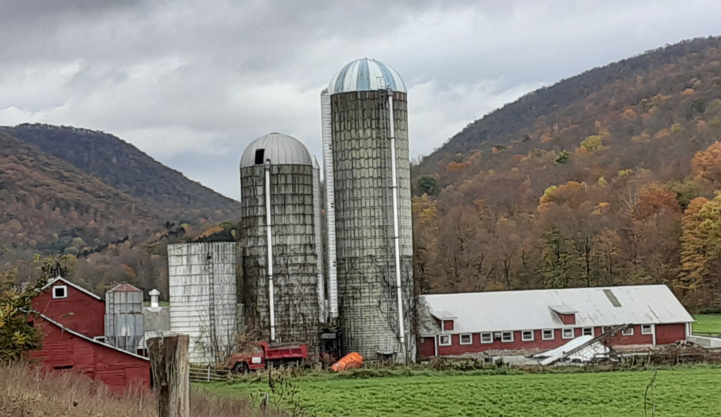
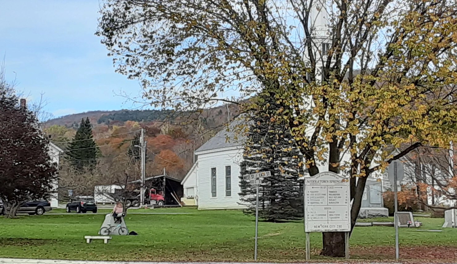
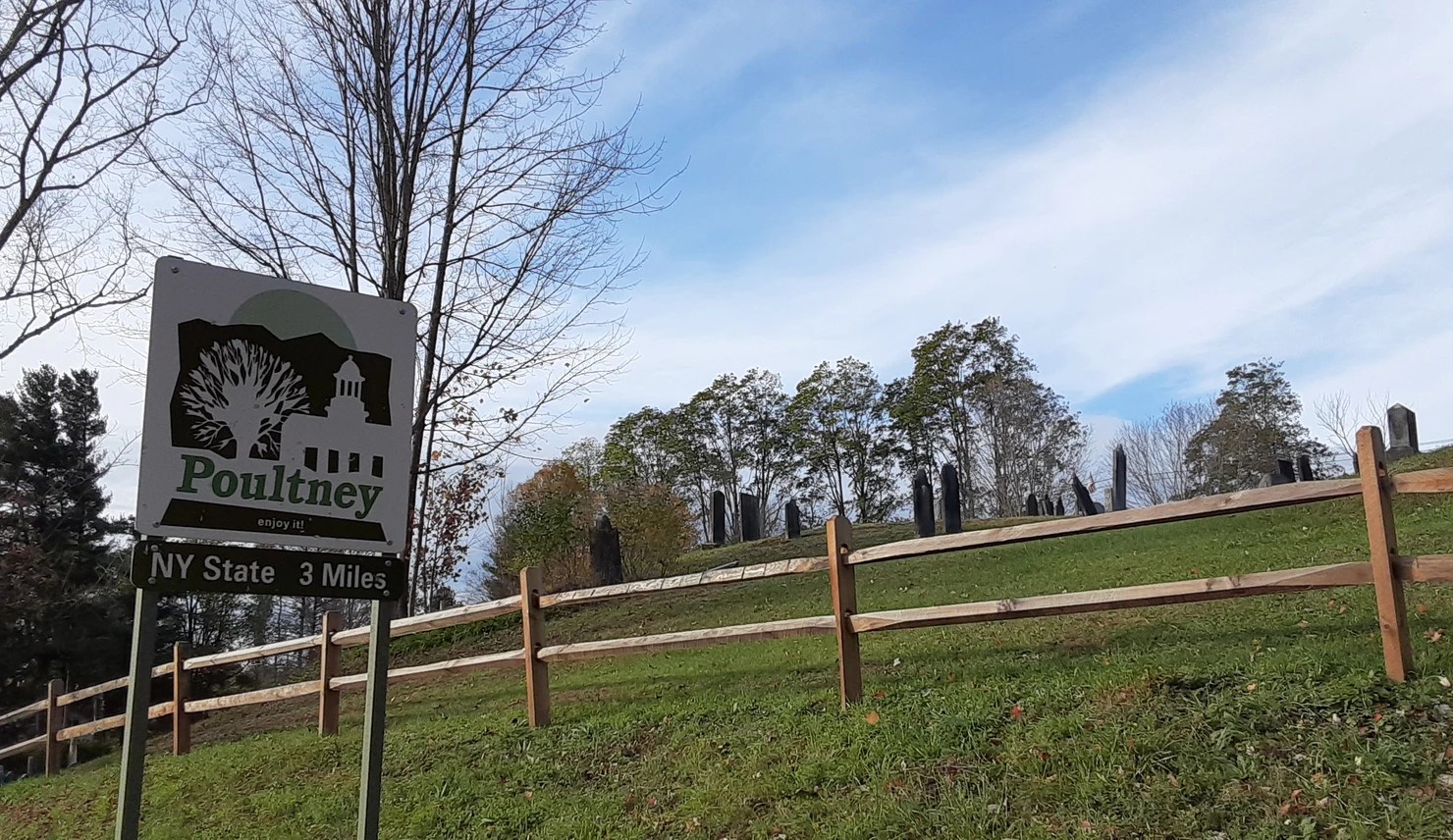
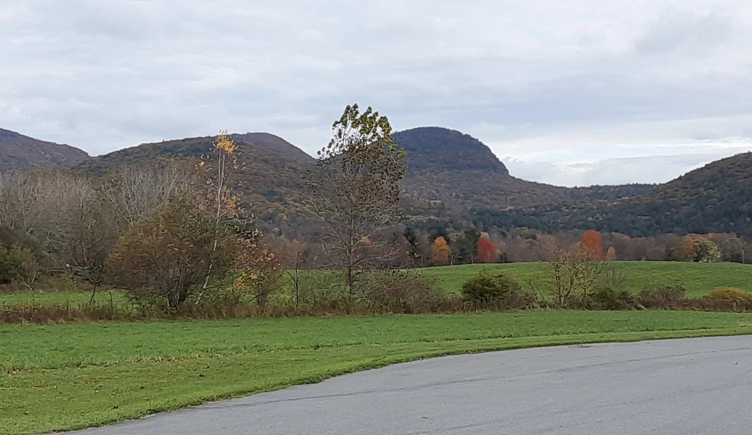
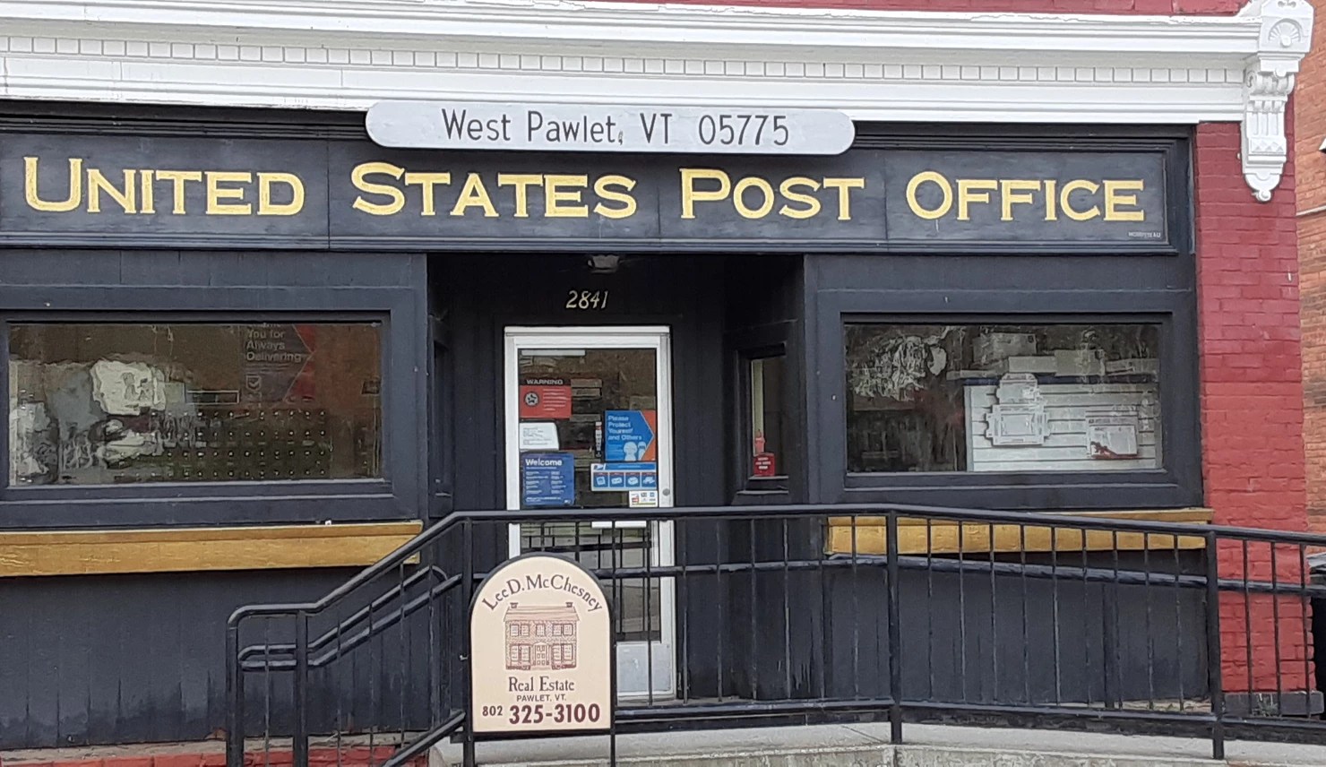
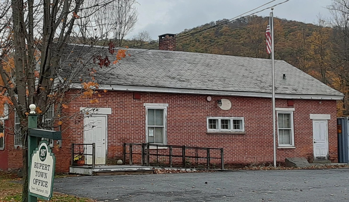
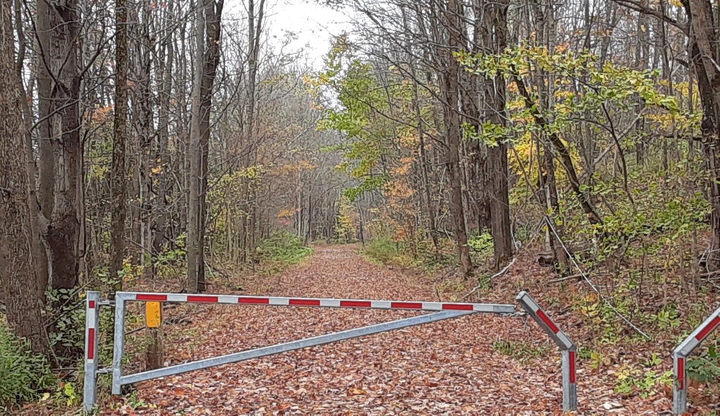
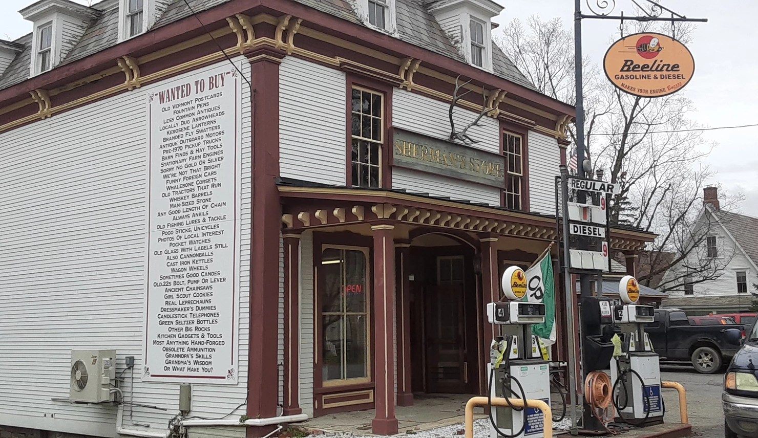
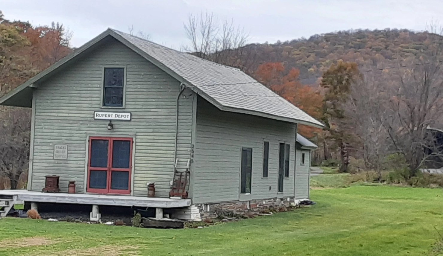
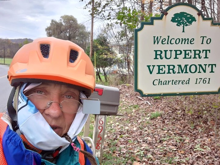
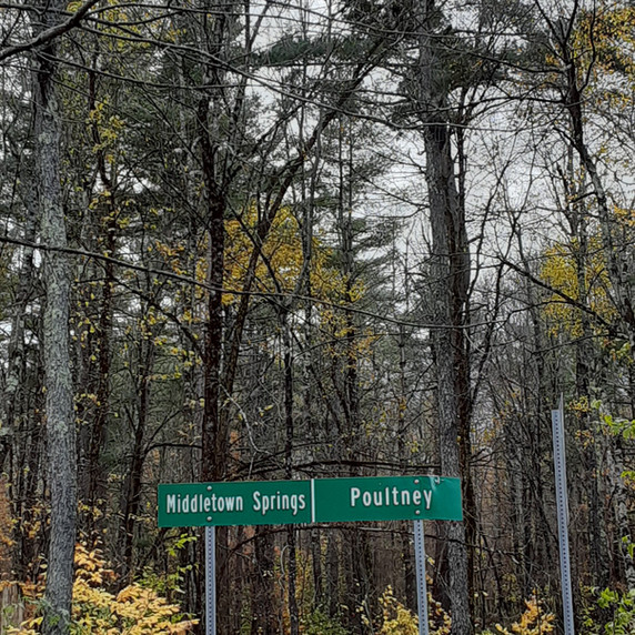
Sandgate, Rupert, Pawlet, Wells, Tinmouth, Middletown Springs, and Poultney
Miles: 45, at least a quarter of them on dirt
Total to Date: 186 towns and 1,217 miles.
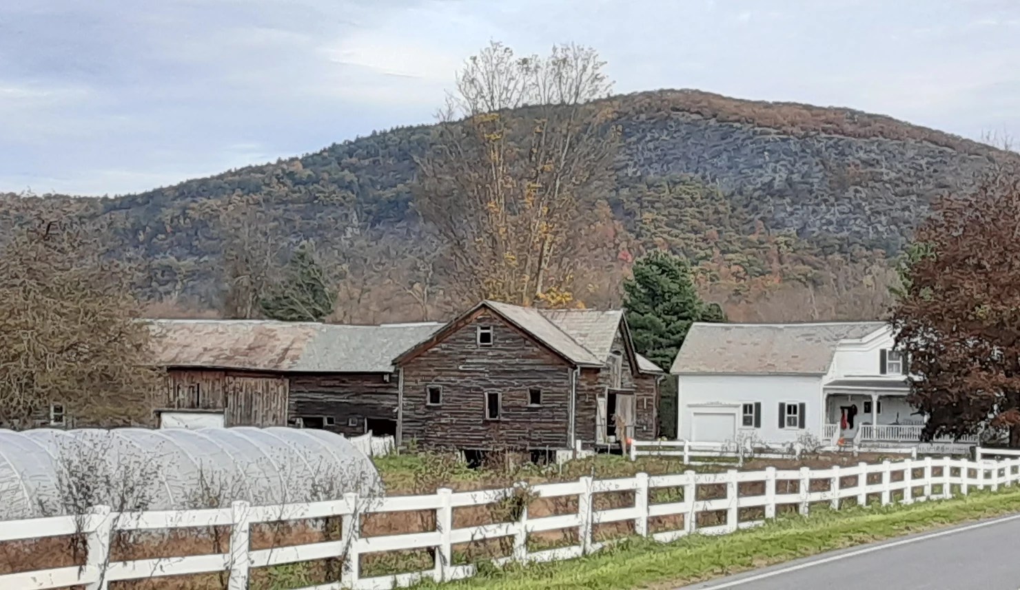
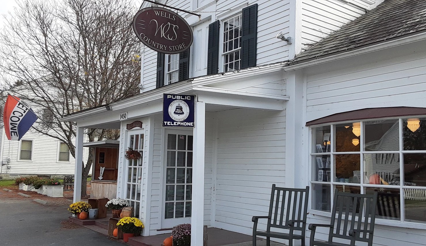
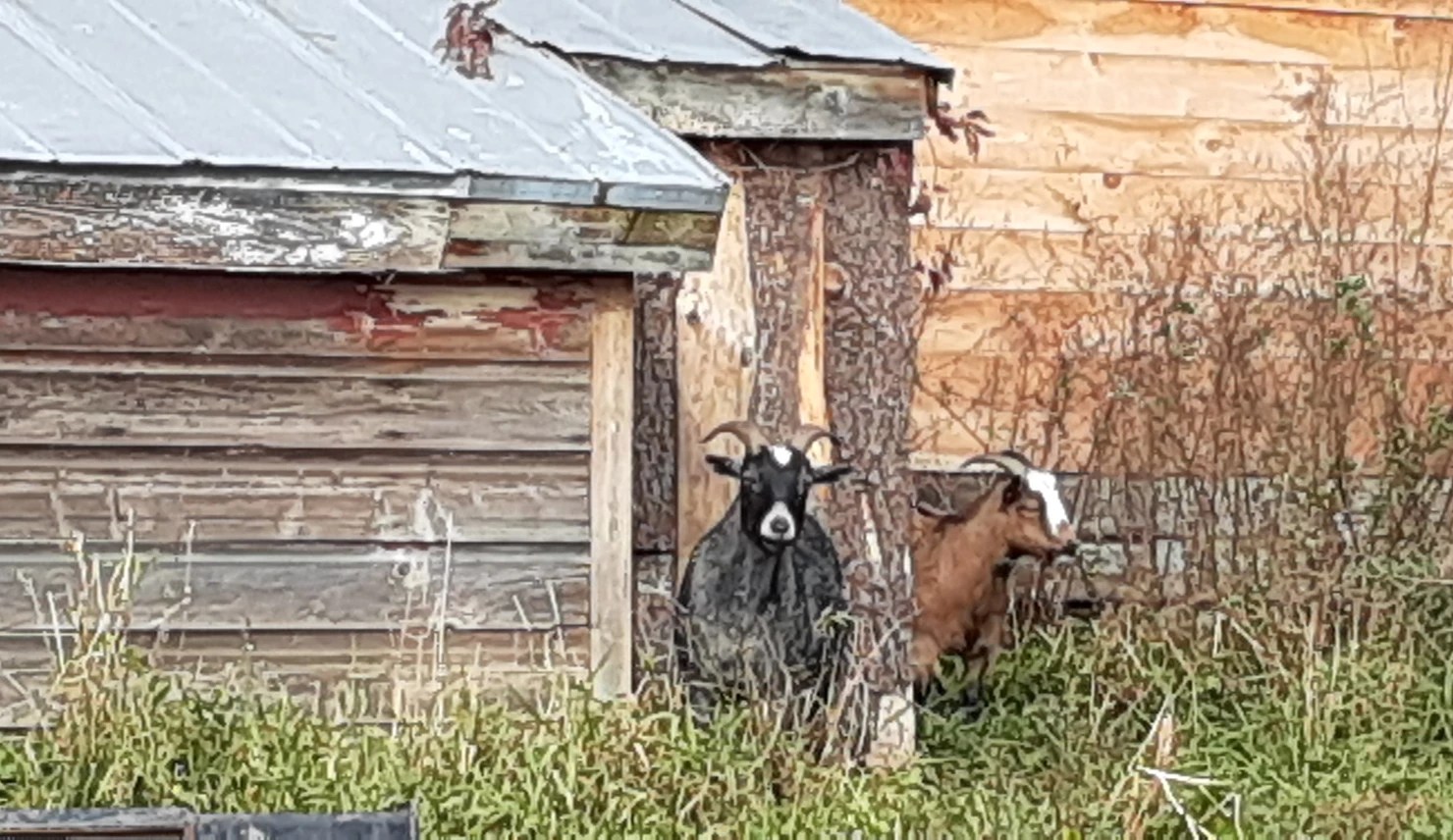
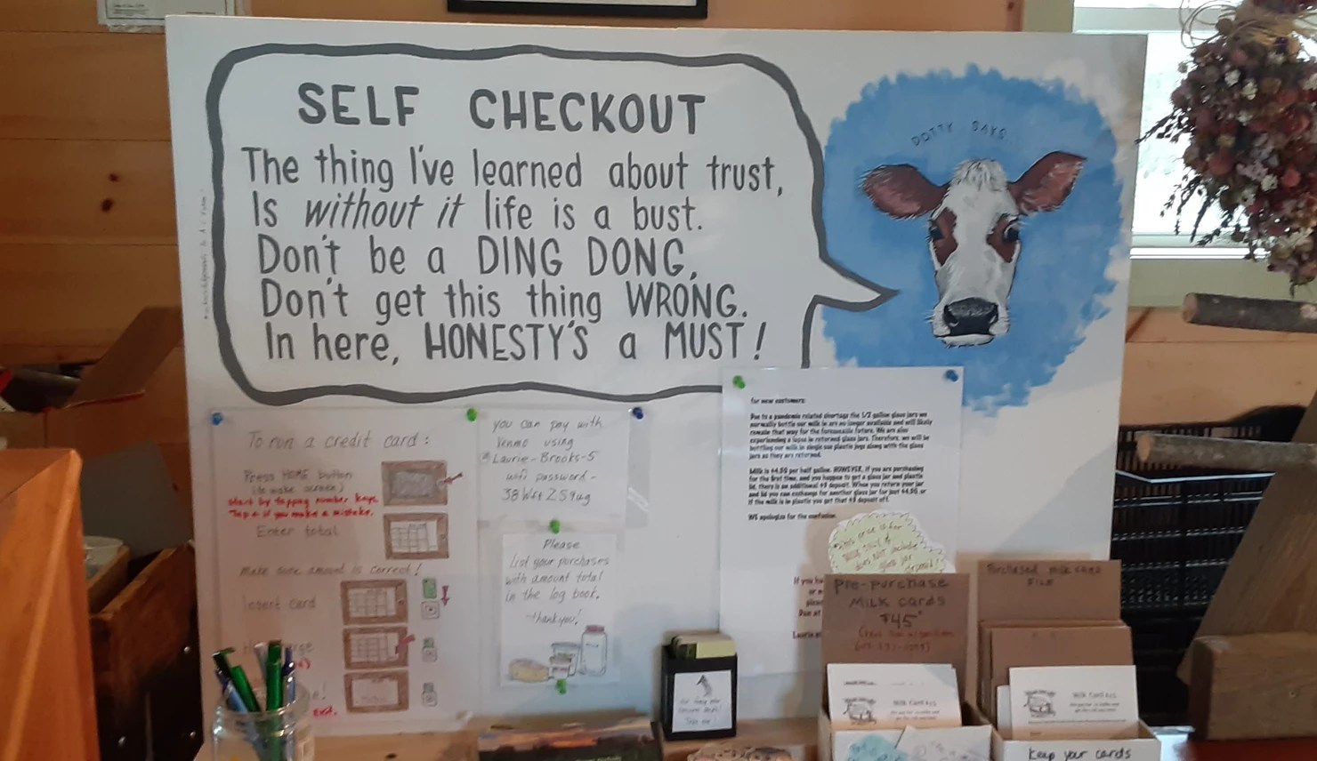
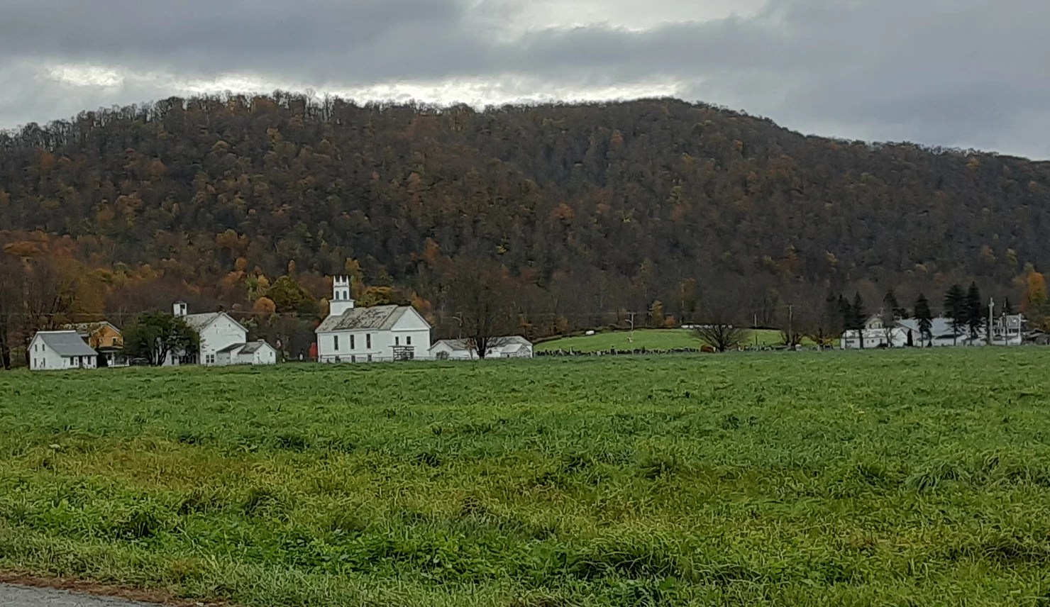
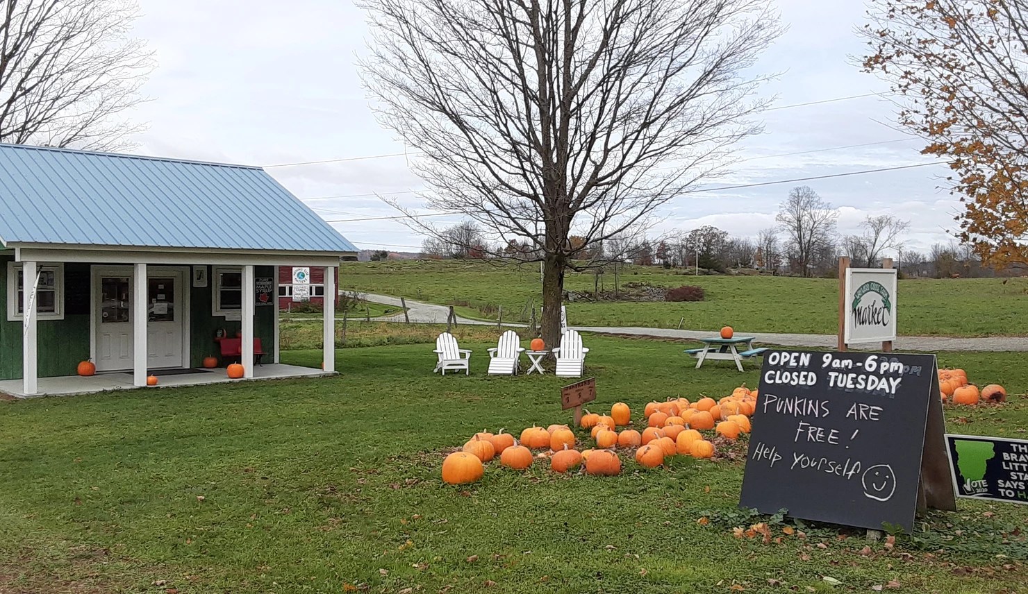
Last night the demons of old grief and pain sprang up and grabbed me by the throat. I had a hard time sleeping and spent the day trying to shake them. When this happens, I feel pretty little. As a result I don’t have many words to share today. But I was definitely into taking pictures. And for those who have wondered, below are some details about my ride—what I wear, what I carry, and how I plan my route.


What I Wear
I wear two pair of bike gloves and two pair of bike shorts. Makes a big difference.
I have a comfy padded seat on my bike. Riding in temps like today’s—low forties with big wind—can be chilly. I wear a buff under my helmet and pull it around my face. I wear long johns over my bike shorts and Gore-Tex pants over that. I wear a smart-wool T-shirt and a long-sleeved wool sweater under my Gore-Tex jacket. This keeps me pretty warm even in cold rain. I wear smart-wool socks, but in cold rain my feet get numb, so I will add some of those disposable heaters.
What I Carry
I carry a spare pair of socks, pile pants, a spare lightweight wool shirt and a heavier wool shirt. I have my backpacking stove, pot, tent, sleeping bag and pad with me, as well as a rainfly for the bike. I carry a few days of dehydrated food plus a flashlight, an SOS satellite unit, minimal first-aid supplies, and some bike-repair parts, mostly for flats. Women: I carry a pStyle. I can pee without getting off my bike. I love that thing! (Guys: You already have a built-in one.) I wear a backpack with a drinking hose, so I can sip water whenever I want. I carry a stainless Thermos of hot tea. I seldom stop for more than a minute or two at a time during a 40- or 50-mile day unless there is something I want to explore. I make a lot of one-minute stops to snap pics. On longer days I might stop for a real half-hour lunch.
Mapping the Route
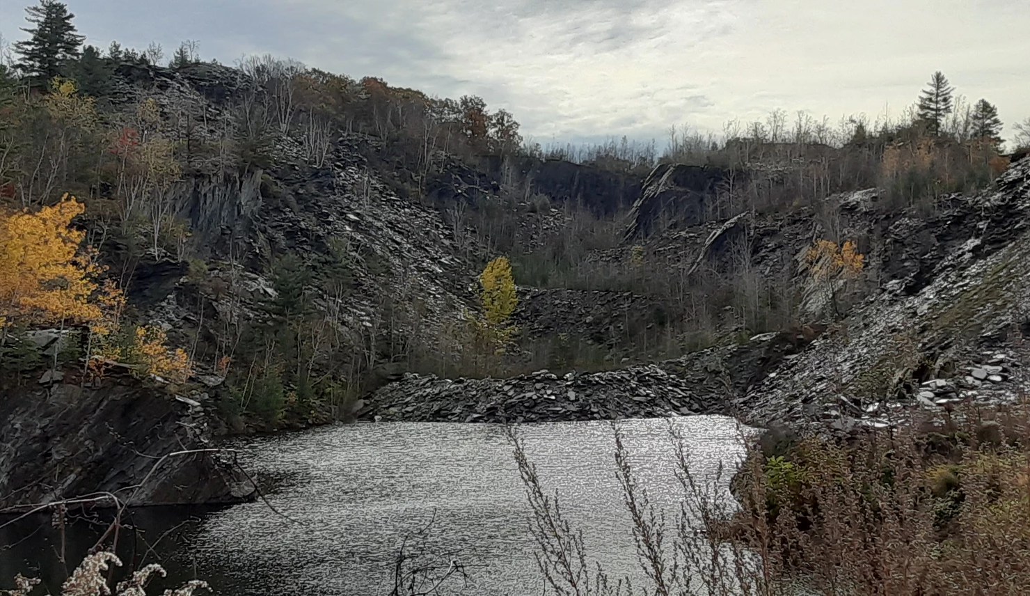
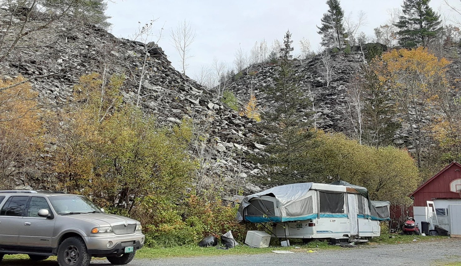
I spend a lot of time every few days mapping, trying to stay two or three days ahead. I work around places I can stay and recharge my bike battery. Sometimes I do out-and-back loops, retracing some miles for the sake of having a second night indoors. Sometimes I stay ten miles as the crow flies from my previous night, but I ride over 60 miles to get there! I use an old Vermont Gazetteer and look for roads that loop together as many towns as possible with the fewest miles and minimal backtracking. Because some people I stayed with offered to pick me up at the end of the day and bring me back to their home, I have done a few one-way sections. These have been in places where I had no place to recharge and where it would have been more complicated to loop the towns together. Some towns have a population ranging from zero to eight. There are very few drivable roads in towns such as Glastenbury, Somerset, and Lewis.
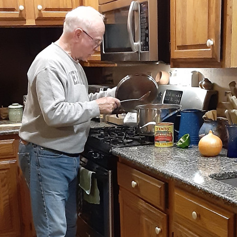
When I started, I had no idea where I would stay each night. So far it has worked out. I still don’t know where I will stay in south central Vermont, but I trust it to come together before I get there in a few days. I have already met many wonderful people, and I feel honored and humbled by their generosity. I’ve been the recipient of more warm beds and wonderful meals than I ever dreamed possible. (Above: Host Bill Deets.)
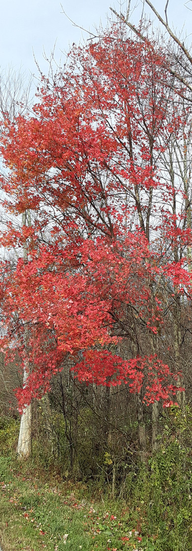
I told myself when I started if I hated it I would quit. Although it is sometimes difficult to get myself going in the morning, especially in cold rain, I haven’t wanted to quit yet. I still see trees in autumn glory, though stick season* will soon be here.

Leave a comment